What if Rick and Evelyn from the “Mummy” movie series or Indiana Jones had been able to use artificial intelligence (AI)? We imagine they would have spent a lot less time struggling to decipher texts, quickening their pace of discovering tombs, ancient sites, and whatnot…
What if we were to tell you that AI is now being deployed to unearth buried truths and hidden secrets?
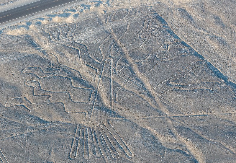
For instance, a University of Basel team has been conducting landscape research, in collaboration with the Graubünden Archaeological Service, in the Crap Ses area of Switzerland since 2021. The objective? To unearth a Roman battlefield in eastern Switzerland’s Oberhalbstein Alps. However, in fall 2023, the research took a turn when they discovered a striking terrain structure around 3,000 feet above the battlefield. It was a previously unknown Roman military camp 7,000 ft high in the Swiss Alps, resting undisturbed for more than 2 millennia.
So, what did they employ to make this sensational discovery? A high-resolution digital terrain model and Light Detection and Ranging data (LiDAR), showed the slightest height differences in the terrain.
Introducing Tech to Archaeology
Decades ago, archaeologists had to rely on magnifying glasses, brushes, and shovels to a great degree and indulge in painstaking fieldwork, one pottery fragment or bone at a time. While that continues, there is also an astonishing suite of 21st-century tech that has been thrown into the mix. These new tools include everything from the airborne tech known as LiDAR and AI to satellite imagery, DNA sequencing, and even tiny robots and thermal infrared camera-carrying drones, which can trawl tiny tomb shafts.
Moreover, machine learning (ML) is also being employed to rummage through massive datasets, greatly boosting the likelihood that sites could yield important artifacts and not be a waste of effort. The fact that natural calamities like tsunamis, wildfires, and erosion impact these archaeological sites only adds to the sense of urgency.
LiDAR and Mapping
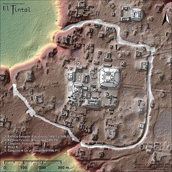
Some of the recent years’ most dramatic discoveries have come through LiDAR systems, which employ drones, helicopters, and airplanes to aim rapid laser light pulses at the surface, with reflections being processed to create 3D maps. It has been revolutionary in creating precise images of the terrain, revealing features suggesting past human activity even in the unexplored rainforests of South and Central America.
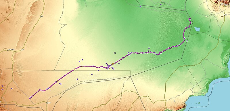
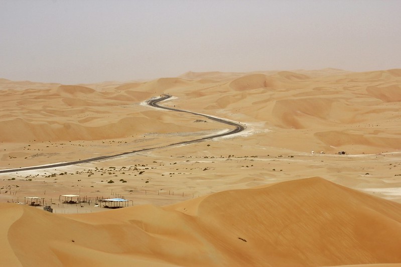
Part of the larger Arabian Desert, the Rub al-Khali, a.k.a. “The Empty Quarter,” is a massive 250,000 sq. mi. (650,000 sq. km.). It looks empty, or does it? A Khalifa University, Abu Dhabi, research team has now developed an ML algorithm that uses the powerful synthetic aperture radar (SAR), helping them trawl vast tracts of this desert. Since traditional ground surveys are challenging here due to obstacles like altering dune patterns and sandstorms, SAR, which penetrates vegetation and even sand, allowed the team to see hidden structures beneath the terrain’s surface. This is especially important since the region is home to Saruq Al-Hadid, an enigmatic historical site with evidence of more than 5,000 years of human activity. In fact, the team even trained the algorithm to detect other potential excavation areas nearby.
AI And the Pace of Discovery
New technologies have allowed some stunning discoveries at the macro scale to happen quickly, especially since archaeology is not just about finding — it is about finding out. For instance, when the Nazca Lines were discovered in the mid-1920s, it took as many as 100 years to discover just 430 new geoglyphs. In comparison, an AI-accelerated Nazca survey found as many as 303 previously uncharted geoglyphs in just 6 months!
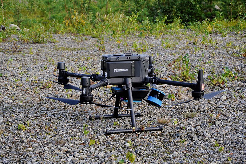
The researchers used AI, in tandem with low-flying drones, which scoured nearly 243 sq. mi. (629 sq. km.) and eliminated nearly 98% of the imagery. So, human experts were only needed to reject or confirm plausible candidates, instead of having to analyse the mountains of data.
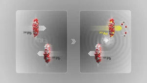
As far back as 2017, scientists used the Lawrence Berkeley National Laboratory’s particle accelerator to send X-ray beams through Roman concrete fragments. The result? It helped reveal the “concrete recipe” that allowed the Romans to build structures like the Pantheon, which did not collapse for even two millennia. In a sense, AI is like an extra set of eyes that do not get tired. Since there is a lot of unanalysed data present out there, the real revolution is the quick processing of all the data that we already have.
Better Genomic Sequencing
The digital revolution has also reached biological sciences like genomics, allowing archaeologists to see the past in new ways. A 2018 study used genetic “fingerprinting” to discover that walrus ivory from medieval Europe could be traced back to animals having likely lived in Greenland’s Arctic waters. Is it possible that the Greenland Norse possibly engaged in ivory trade with the Thule Inuit? It could be the earliest indication of circumpolar trade — a.k.a. globalization.
In a sense, archaeologists are working on a deadline now, as human activity is a danger to these prehistoric and ancient treasures. Right from development and deforestation to looting, there is a lot that threatens archaeological sites, with climate change being a constant danger. Unearthing the past might have its own challenges, but it could help us discover and understand who we are, where we come from, and where we are going.
In case you missed:
- Wildlife Conservation: Is AI Changing It For The Better?
- Zero Trust Architecture: The Next Big Thing In Security
- How AI Can Transform Disaster Management
- Head In the Cloud: Could You Upload Your Mind To The Metaverse?
- Seabed Security: A Deep Dive Into Underwater Robotics Technology
- Biohybrid Robots Are Here. Is Humanity Prepared?
- All About DeepSeek, the AI Disruptor
- Six ways hosted private cloud adds value to enterprise business
- Everything you need to know about DaaS (Desktop as a Service)
- Neural Networks vs AI – Decoding the Differences






1 Comment
Author of the column mentions the results of a 2017 study on roman concrete. This claim seems to be coming from the study led by Marie Jackson (https://doi.org/10.2138/am-2017-5993CCBY). There are no claims of application of any AI based techniques in the article. It seems that the chemical notation of aluminium (Al) is misunderstood for the notation of artificial intelligence. Kindly address the mistake.